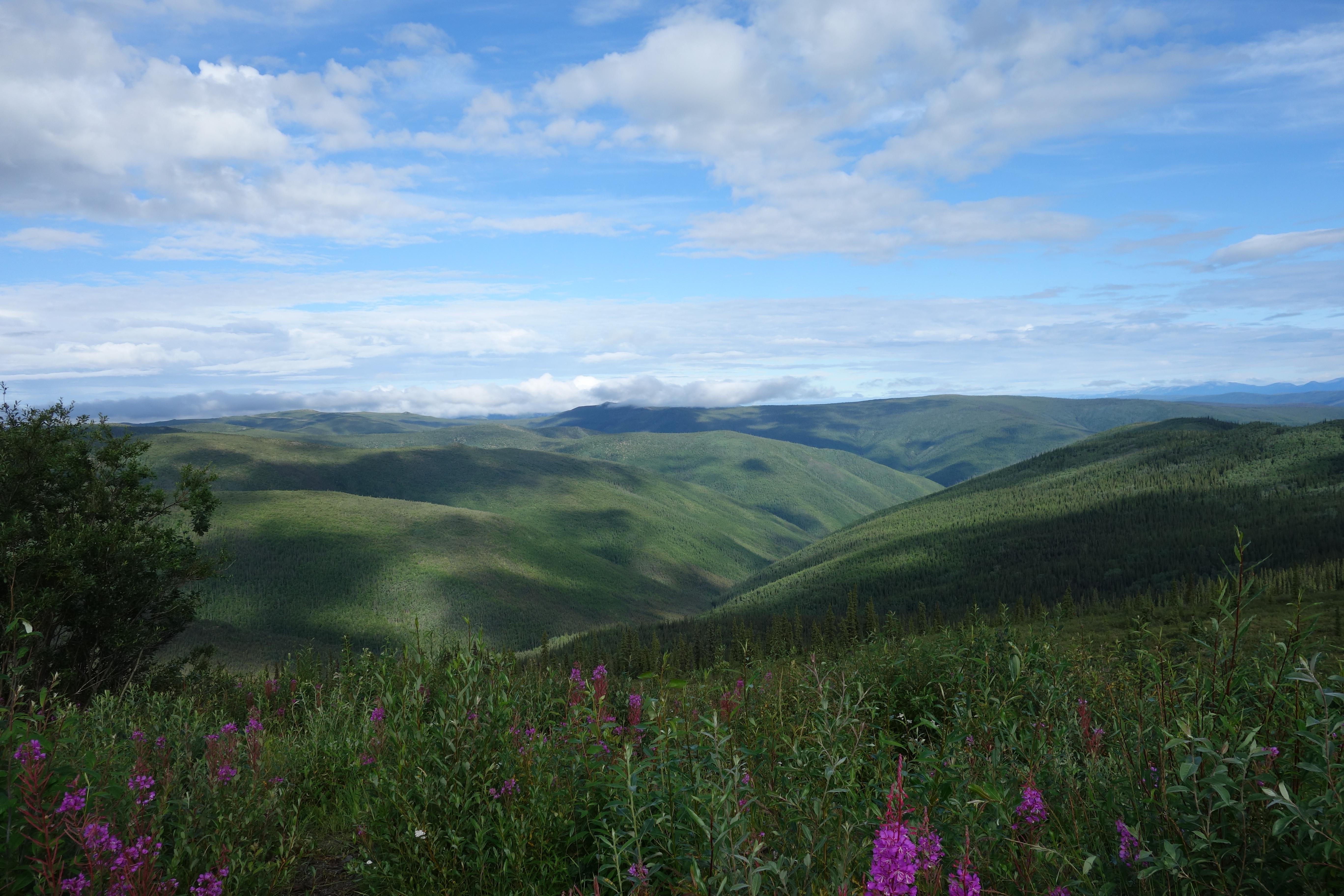
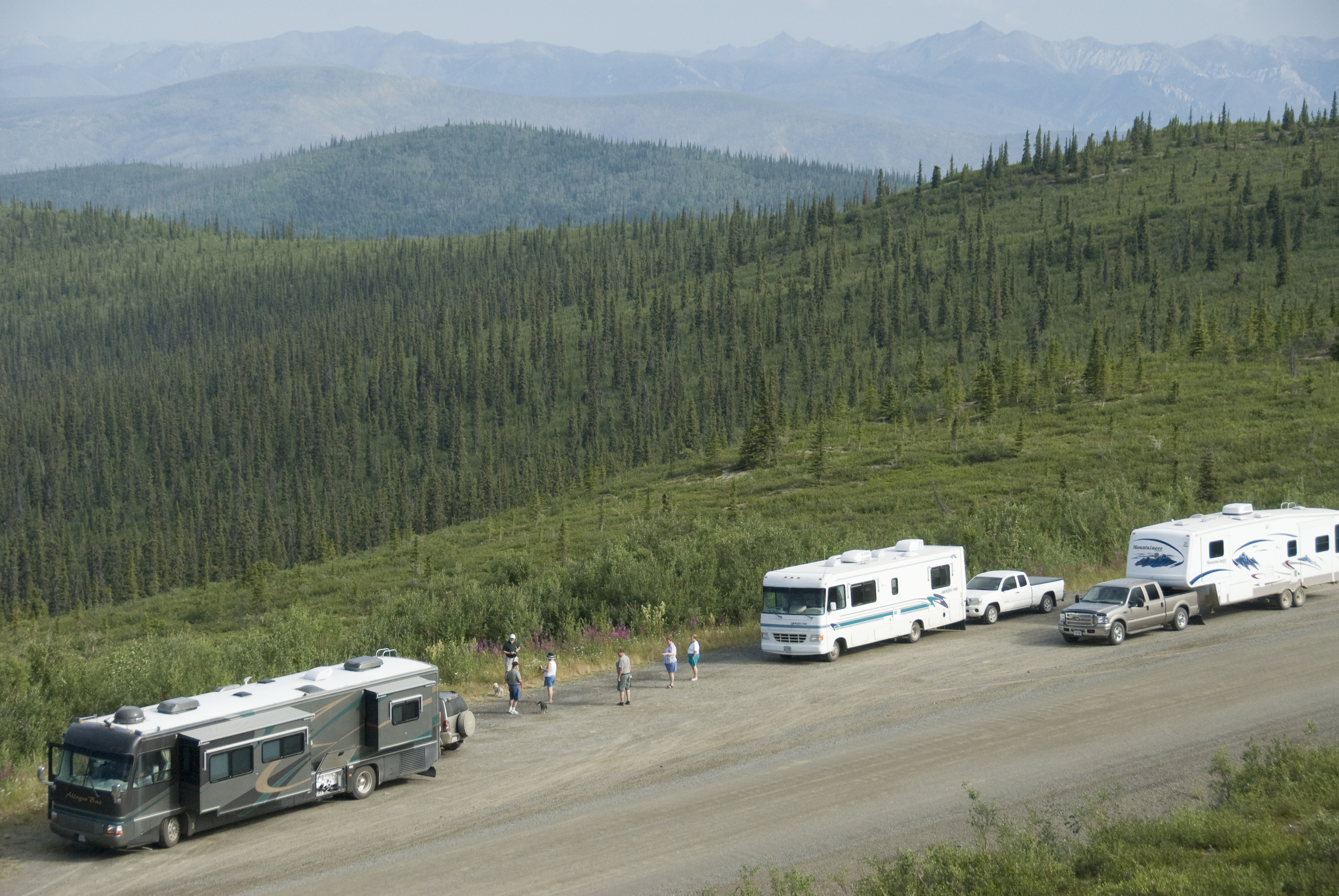
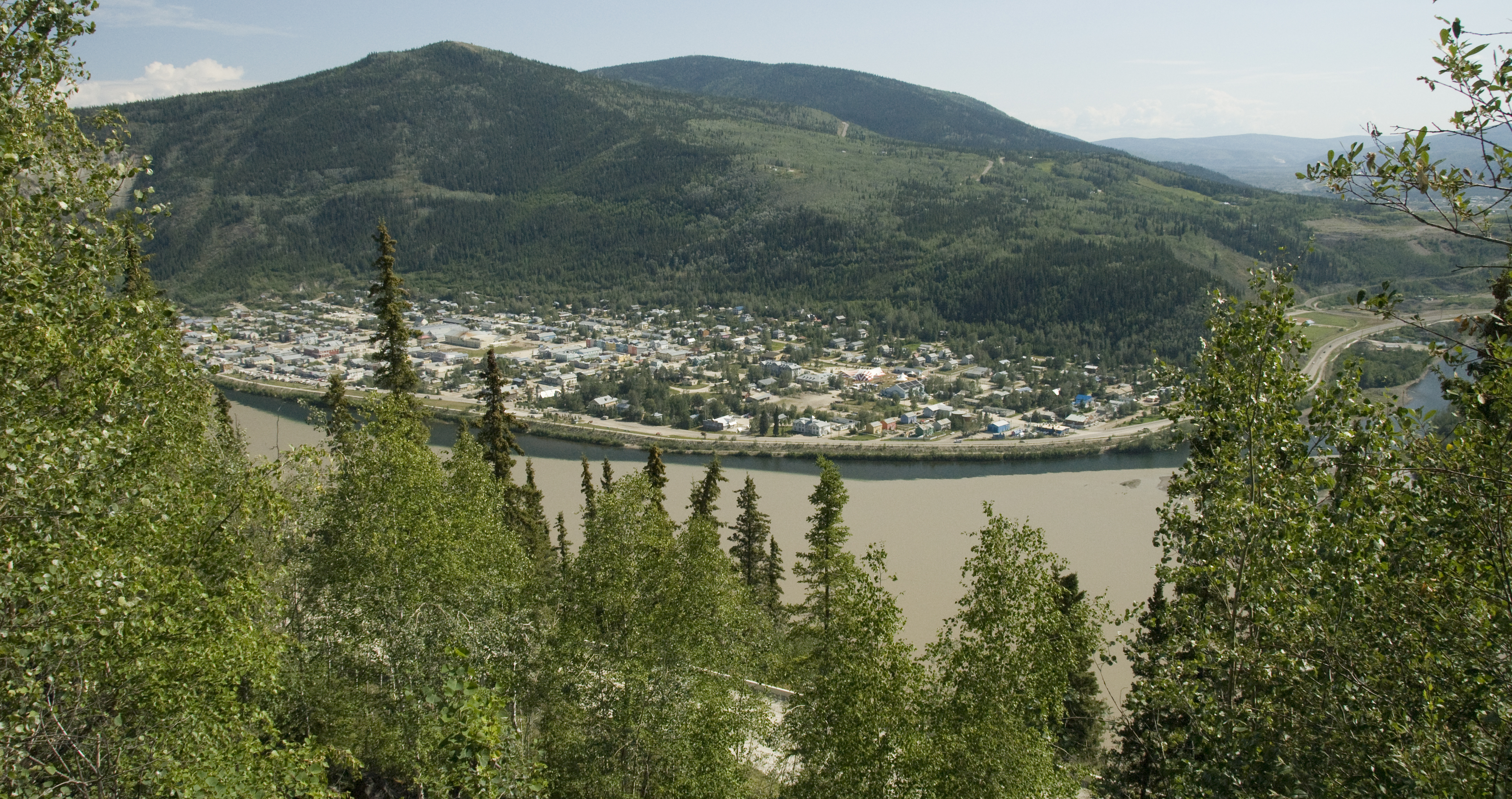
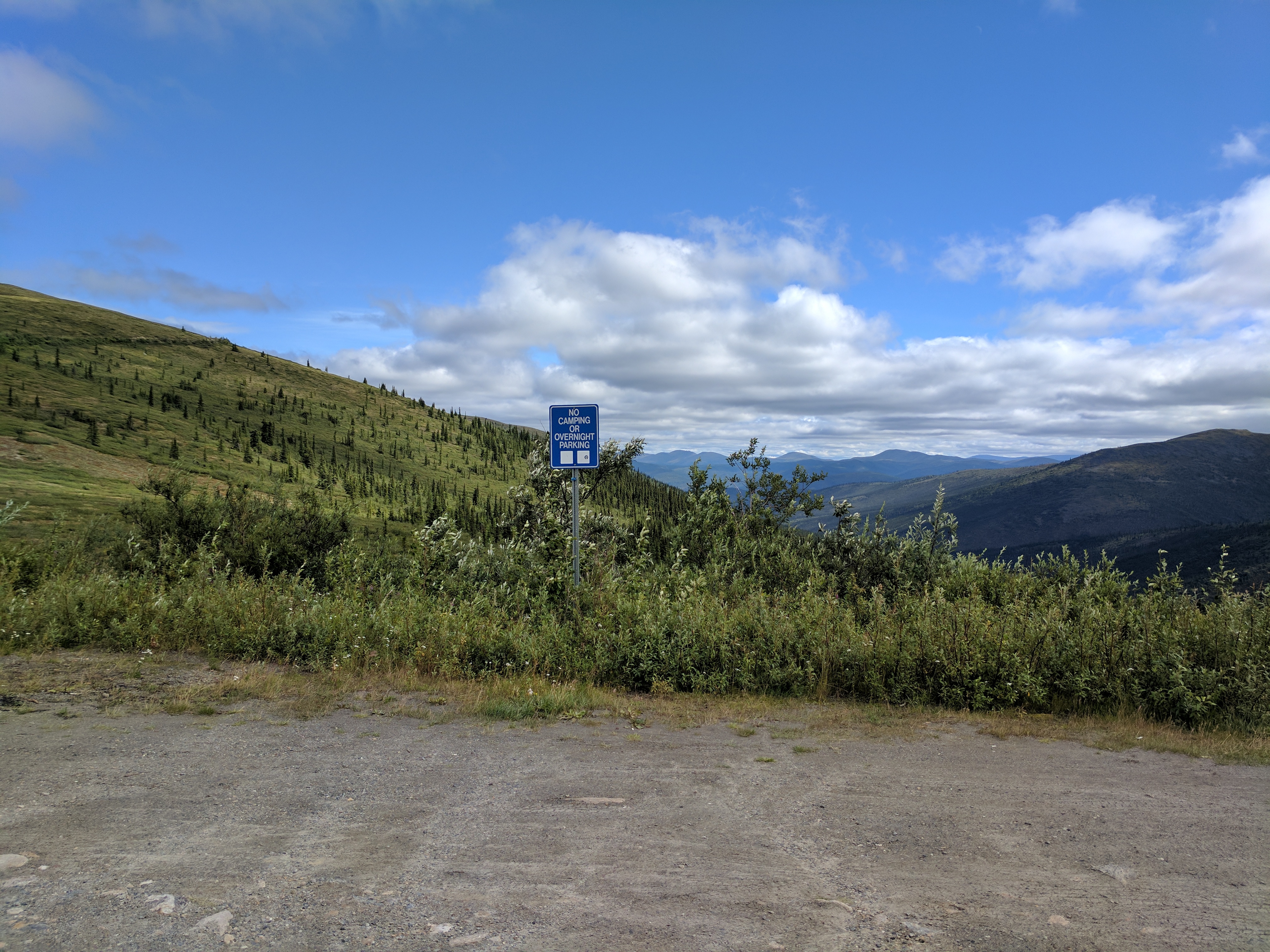
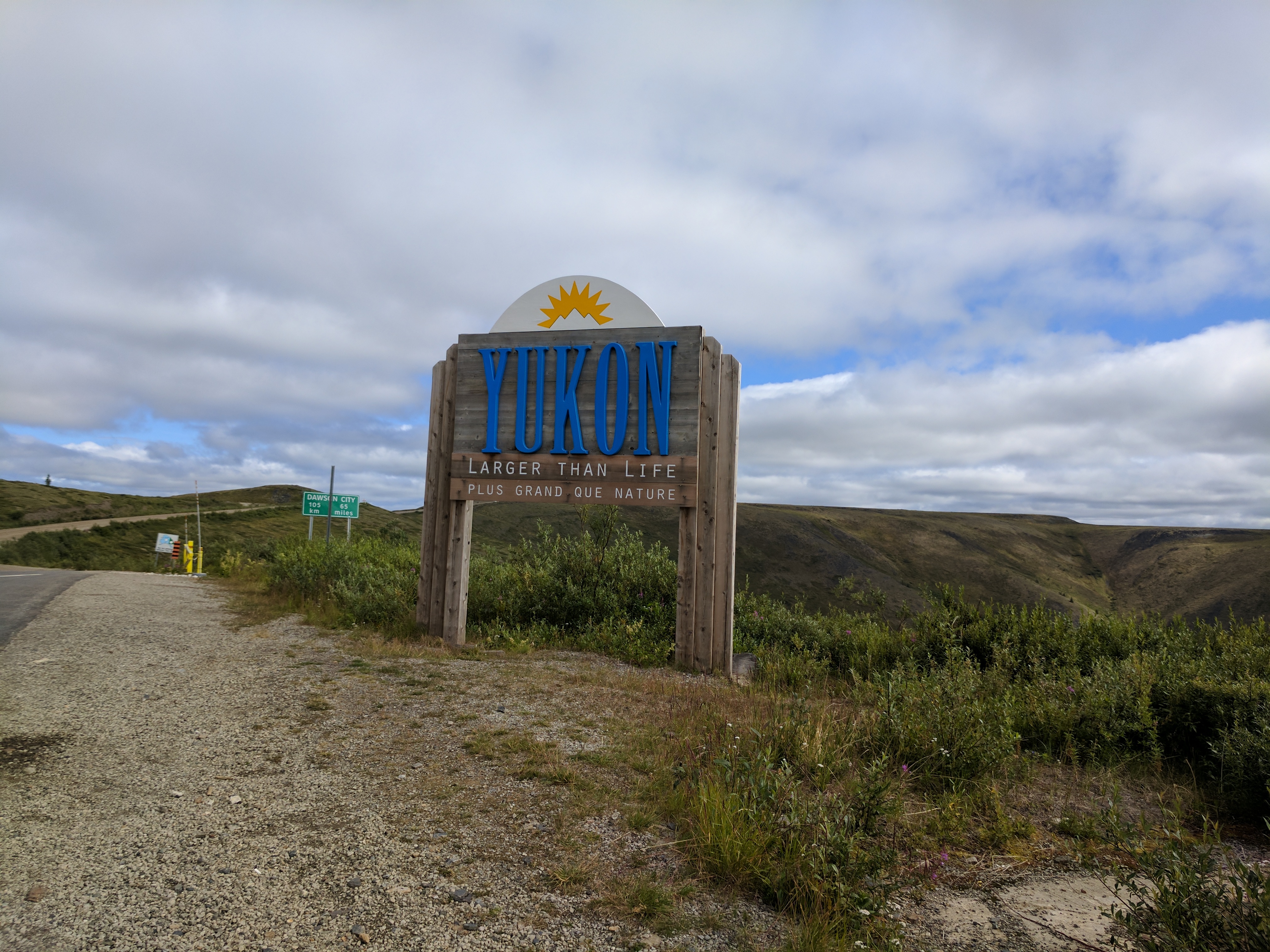
The Top of the World Highway (Highway #9) extends from the ferry landing in West Dawson to Jack Wade Junction, Alaska. It is known for spectacular views as it traverses an unglaciated mountain range above the treeline. It is a tourist attraction and offers an alternate route into Alaska. The Top of the World Highway also provides access into Forty Mile Historic Site via the Clinton Creek road and access to the Sixty Mile mining district.
Originally built as a pack trail during the Gold Rush, the Top of the World Highway was extended to the Alaska border in the 1930s and from there to nearby Alaskan communities in the 1940s. The Little Gold/Poker Creek border crossing is open seasonally between mid-May and mid-September.
An interpretive plan for the Canadian section of the Top of the World Highway is complete. The purpose of developing the interpretive plan is to convey key messages regarding cultural heritage and natural resources in order to improve visitor experiences within the highway corridor. The planning process was guided by an advisory committee, consisting of representatives from Government of Yukon, Tr'ondëk Hwëch'in and the Klondike Visitors Association.
| Attachment | Size |
|---|---|
| Top of the World Highway Interpretive Plan and Executive Summary Final_WEB.pdf23.98 MB | 23.98 MB |
| Draft Interpretive Plan- Top of the World Highway.pdf20.94 MB | 20.94 MB |
| ToW Newsletter October 2018.pdf2.1 MB | 2.1 MB |
| Open House Poster October 2018.pdf1.06 MB | 1.06 MB |
| ToW Fillable Comment Form - Feb 2018.pdf703.31 KB | 703.31 KB |
| Public Open House Poster.pdf612.43 KB | 612.43 KB |
| ToW Newsletter Feb 2018.pdf1.27 MB | 1.27 MB |
| Draft Plan ToW Comment Form.pdf53.07 KB | 53.07 KB |
